
World Data Bundle
Full Continent, Country, State, City, Zip#, Currency Dataset
Screenshots
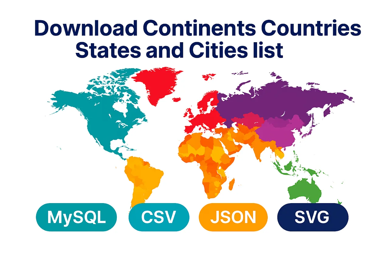
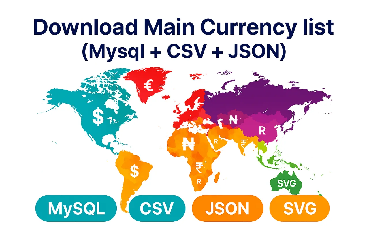
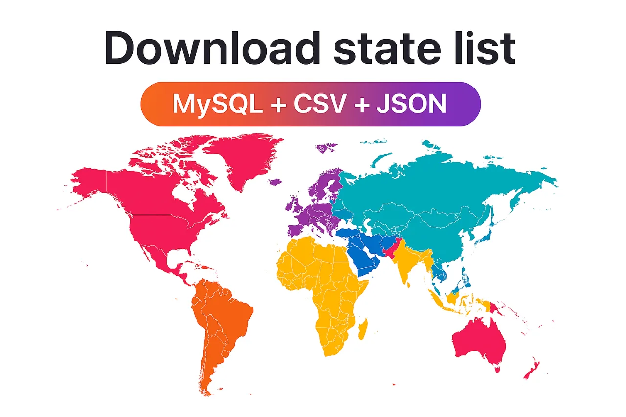
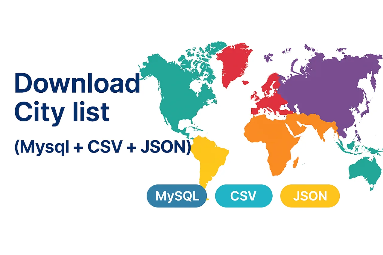
 Mysql
Mysql JSON
JSONThe World Data Bundle is a comprehensive digital product designed to provide developers, SaaS founders, UI designers, data analysts, and educators with a ready-to-use dataset containing detailed geographic and administrative information. This bundle simplifies access to essential global data, enabling users to easily integrate location-based features into their applications and projects.
The dataset is meticulously structured and includes the following key components:
- Continents: Comprehensive lists of all continents.
- Countries: Detailed information for every country, including SVG flag icons.
- States/Provinces: Geographic and administrative data for states or provinces within countries.
- Cities: Information on cities, often with mapping to their respective states and countries.
- Currencies: Data on global currencies.
- Zip Codes: Included in the advanced package for granular location data.
Each dataset is conveniently provided in multiple versatile formats to ensure broad compatibility and ease of use:
- MySQL (.sql): Directly importable into MySQL or PostgreSQL databases.
- CSV format: Ideal for spreadsheets and tabular data tools.
- JSON data format: Perfect for developers building APIs and applications.
This bundle is ideal for a variety of use cases, including but not limited to:
- Creating dynamic country, state, and city dropdown menus in applications.
- Implementing region-specific filters in SaaS platforms.
- Powering location-based dashboards and data visualizations.
- Facilitating academic research and in-depth data analysis projects.
The World Data Bundle addresses the common challenge of acquiring and structuring accurate global geographic data. By offering clean, consistent, and standardized data in multiple formats, it significantly reduces development time and effort. The product boasts global coverage and is production-ready, making it a reliable resource for professional projects.
The dataset is licensed under the MIT license, allowing for free use in both personal and commercial projects. Contributions and suggestions are welcome via email, fostering a collaborative environment for improving the data.
Related products
View all
More categories
All categories


Launched in Week 18, 2026
See the week
Refract
Every SaaS pivots. Most codebases don't survive it.

ClyraAI
AI that tells you what’s hurting your videos


Doing Loops - Daily Path Drawing Game
Create the shortest and/or longest loop possible and flex.

